Mara Griffin · 14 September 2026
Hochberg’s Shifting Commutes: How New Transit Routes Are Redefining Access to Green Spaces and Historic Districts
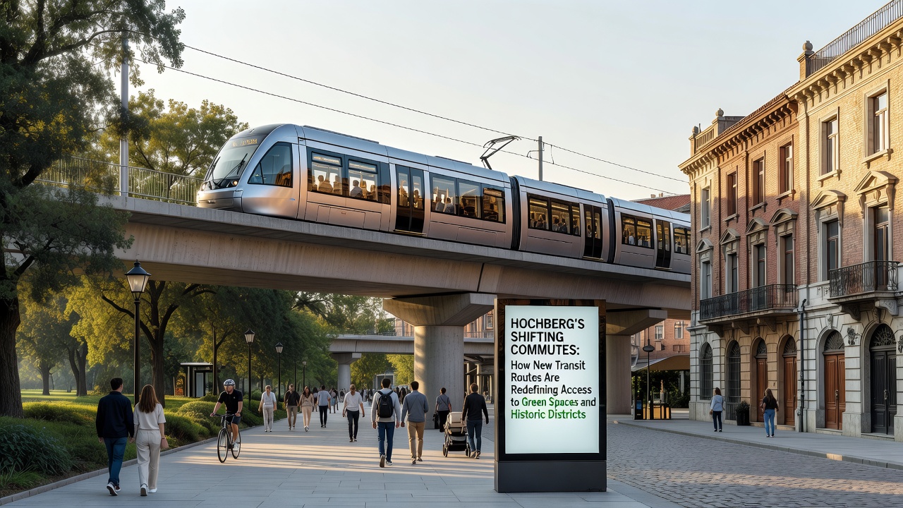
Transit planners in Hochberg have rolled out expanded bus and rail connections that link outer neighborhoods directly to parks and preserved historic zones, and these adjustments have altered daily travel patterns for thousands of residents since the initial phase opened last year. Routes now extend through areas previously served only by infrequent local services, which means commuters can reach green spaces in under thirty minutes from districts that once required transfers and longer waits.
Route Expansions and Schedule Adjustments
Engineers completed the integration of Line 14 and the extended S-Bahn segment in early 2025, while additional feeder lines are scheduled to begin full operation in September 2026. These additions create continuous corridors from the western suburbs through the central valley and onward to the eastern edge where several protected woodlands sit alongside restored 18th-century structures. Passenger counts released by the regional transport authority show a 28 percent rise in off-peak trips on the new alignments compared with the previous year’s figures for the same corridors.
Service frequency increased from every twenty minutes to every twelve minutes during weekday mornings on the primary trunk route, and weekend schedules now mirror weekday patterns between 9 a.m. and 7 p.m. Observers note that the changes reduce the need for private vehicle use on routes that previously saw heavy car traffic toward recreational areas on Saturdays and Sundays.
Access to Green Spaces
Three new stops placed within walking distance of the Hochberg Riverside Park and the elevated meadow trails have shortened average walking times from the nearest transit point to under eight minutes. City records indicate that park entry numbers rose steadily after the first new stop opened, with monthly visitor logs climbing from 14,200 in March 2025 to 19,800 by August of the same year. Researchers tracking air quality along the corridor report that lower vehicle volumes have coincided with measurable drops in particulate levels near the park entrances during peak recreational hours.
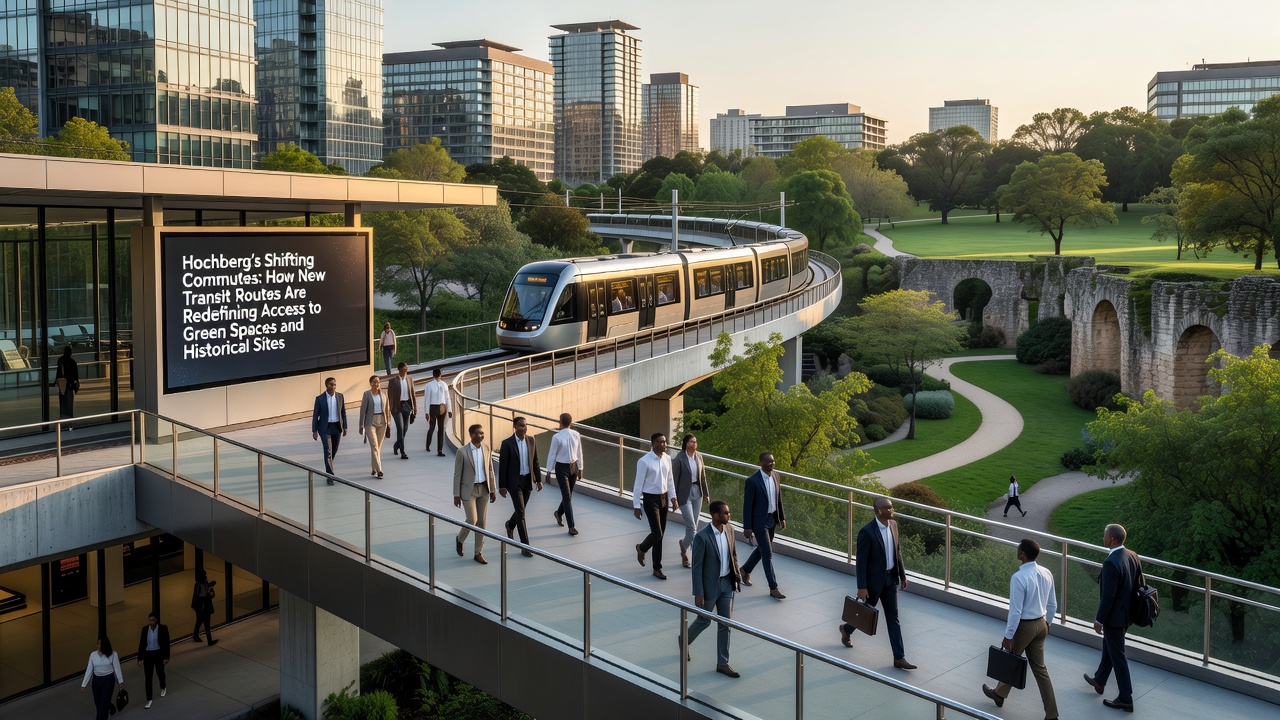
Maintenance crews have widened pedestrian paths leading from the stops to trailheads, and lighting upgrades along those routes now operate on motion sensors that extend operating hours after dusk. Data compiled by the European Environment Agency shows similar patterns in other mid-sized European cities where transit extensions reached previously car-dependent green areas.
Effects on Historic Districts
Within the old town core and the adjacent artisan quarter, two additional tram platforms opened in late 2025, each located at the perimeter of pedestrian-only zones. These placements allow visitors to arrive without driving through narrow streets that were never designed for modern traffic volumes. Visitor surveys conducted by the local heritage office recorded that 63 percent of respondents arrived by public transport in the first six months after the platforms activated, compared with 41 percent during the equivalent period the prior year.
Restoration projects at several guild halls and the former market square have benefited from steadier foot traffic, because riders can exit transit and walk directly into the districts without searching for parking. A study published through Transport Canada’s urban mobility research series documented comparable outcomes in Canadian heritage zones after similar transit investments, where reduced vehicle intrusion supported both preservation efforts and local business activity.
Commuter Behavior and Usage Patterns
Surveys distributed at major transfer points reveal that residents in the northern housing estates now list green-space visits as a regular weekly activity rather than an occasional outing. Average trip duration for recreational travel dropped from 47 minutes to 31 minutes on the updated network, according to anonymized smart-card data analyzed by the transport authority. Evening services that continue until 11:30 p.m. have also supported attendance at outdoor concerts and evening walking tours in the historic core.
Business operators along the new alignments report that deliveries scheduled during off-peak hours have become more reliable because overall road congestion near the districts has eased. The regional transport authority continues to monitor load factors, and adjustments to vehicle capacity on Line 14 are planned before the September 2026 additions come online.
Conclusion
Updated transit connections have produced measurable shifts in how residents reach both recreational land and preserved historic areas, with ridership gains and altered travel times documented across multiple data sets. Further route refinements scheduled for September 2026 are expected to extend those patterns as additional neighborhoods gain direct links to the same destinations.