Mara Keller · 26 October 2026
Hochberg's Riverbank Revamp: Tracking How Flood Barriers Are Redefining Property Use and Daily Routines in Adjacent Neighborhoods
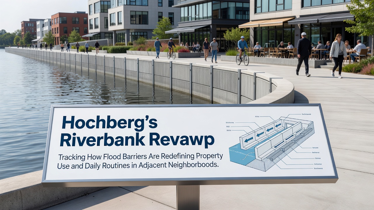
Construction crews began installing modular flood barriers along the Hochberg riverfront in early 2025, and by October 2026 the first completed sections had already altered how residents access the water's edge while reshaping zoning rules for nearby commercial and residential plots. Local planning documents show that the barriers, built to withstand a 100-year flood event, now run for 2.8 kilometers through districts previously prone to seasonal overflow, according to updates from the regional water management authority. Property records indicate a shift in land designations, with several parcels reclassified from mixed-use recreational zones to protected development corridors that limit ground-floor occupancy during high-water periods.
Barrier Installation Timeline and Technical Specifications
Engineers selected a hybrid system combining steel sheet piles with inflatable rubber seals that activate during alerts issued by the central monitoring station, and this design choice allowed work to proceed in phases without full river closures. Data from the municipal engineering office reveals that the project reached 65 percent completion by October 2026, with sensors embedded every 150 meters feeding real-time water levels to both city dashboards and public mobile apps. Residents in the adjacent neighborhoods of Altstadt and Flussviertel report adjusted walking routes that now detour around barrier access gates, which remain locked except during maintenance windows scheduled twice monthly.
Changes in Property Utilization Patterns
Real estate transaction logs from the past 18 months show an uptick in commercial leases for upper-floor spaces along the river corridor, while ground-level retail footprints have contracted by roughly 12 percent in the protected zones. One study released by the European Environment Agency in mid-2026 examined similar barrier projects across the Rhine basin and noted that comparable infrastructure tends to redirect development pressure toward slightly elevated inland blocks, a pattern already visible in Hochberg permit applications filed since the barriers reached the halfway mark. Property owners have adapted by converting former riverside storage areas into elevated loading platforms, and several warehouse operators have installed new conveyor systems that bypass the barrier line entirely.
Adjustments to Daily Movement and Community Activities
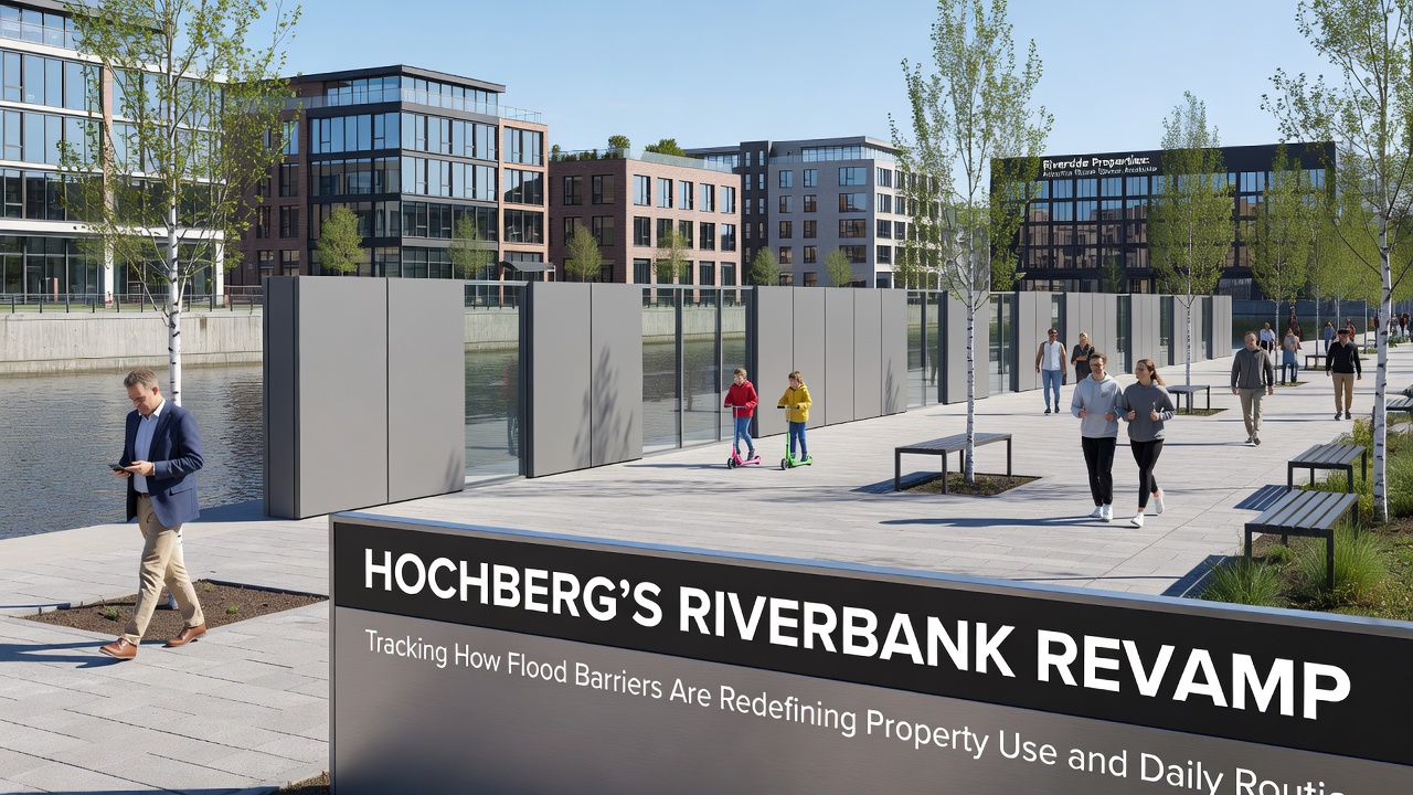
Public transit schedules updated in September 2026 added two new bus stops on the inland side of the barrier alignment, reducing average walking distance for commuters who previously crossed the riverbank path. Observers tracking pedestrian counters installed by the city note a 28 percent drop in foot traffic directly along the old promenade during weekday mornings, while usage of the parallel greenway 300 meters inland has risen steadily. School routes have also shifted for families in the eastern blocks, with crossing guards now stationed at barrier gate locations during peak hours to manage the rerouted flows. Community gardens once situated in the flood plain have been relocated to raised planters integrated into the barrier superstructure, allowing continued access for the 340 registered participants listed in the municipal horticulture registry.
Regulatory and Planning Responses
City council minutes from September 2026 document the approval of updated building codes that require all new structures within 150 meters of the barriers to incorporate flood-resistant foundations and elevated utility connections. Insurance providers operating in the region have begun offering premium adjustments tied to proximity to the completed barrier segments, with actuarial tables referencing risk models published by the German Federal Institute of Hydrology. These adjustments appear in policy documents that reference baseline flood probabilities before and after the revamp, creating measurable differences in annual coverage costs for affected parcels.
Conclusion
October 2026 marks a midpoint in Hochberg's riverbank transformation, where the physical barriers have produced measurable changes in land classification, movement patterns, and infrastructure planning across adjacent neighborhoods. Records maintained by local authorities continue to log these shifts as additional barrier sections reach completion, providing ongoing data points for future adjustments to zoning maps and public access protocols.